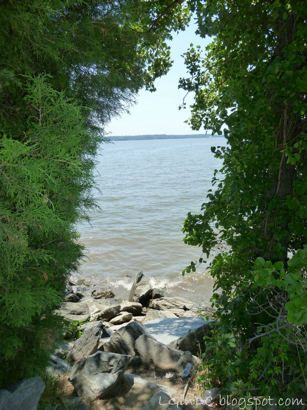
A visit from Seth always means I will get something interesting in the mail about the area I now live in. Seth wrote up some notes about the Potomac River (Algonkian Regional Park, a few blocks from my house, is alongside it) during his visit in March, but I got a chance to take some pictures during his most recent visit, which are now part of this post.
“Potomac”
is the Europeanized spelling of the name of an Algonkian tribe. The Algonkians
called the river Cohonhoroota, meaning “river of geese.” The first Europeans to
explore the river were the Spaniards in the 16th century, followed
by the English in the 17th century.
The
Potomac River is 405 miles long, measured from its northern source at Fairfax
Stone, West Virginia to its mouth at Chesapeake Bay on the Maryland/Virginia
border. During this passage, the river traverses multiple geological zones. Once it leaves
West Virginia, the river divides Virginia and Maryland. Since the Virginia
border is the southern edge of the river, the water in the river is all Maryland during this
stage.
 Note
- For unknown (?) reasons, there is
only a single bridge spanning the river in its final 96 miles before emptying
into Chesapeake Bay, the mile long
Woodrow Wilson bridge near the city of Alexandria. The final bridge crossing the river is the
Governor Harry Nice Memorial Bridge which is well below DC at the mouth of
Chesapeake Bay. Keeping up the Virginia tradition that the purpose of naming
roads is to confuse drivers, the Wilson Bridge is called the Potomac River Highway Bridge,
while the Nice Bridge is called the Potomac River Bridge.
Note
- For unknown (?) reasons, there is
only a single bridge spanning the river in its final 96 miles before emptying
into Chesapeake Bay, the mile long
Woodrow Wilson bridge near the city of Alexandria. The final bridge crossing the river is the
Governor Harry Nice Memorial Bridge which is well below DC at the mouth of
Chesapeake Bay. Keeping up the Virginia tradition that the purpose of naming
roads is to confuse drivers, the Wilson Bridge is called the Potomac River Highway Bridge,
while the Nice Bridge is called the Potomac River Bridge. 
The river has two sources located in the Allegheny
Mountains in West Virginia, a 100 mile long north branch (main stem) at 3000
ft. and a 130 mile long south branch at 4000 ft. These branches descend rapidly
through the mountain zone, fed by mountain streams and tributaries until they
join up in a confluence at about mile
100 of the main stem near Green Spring
on the West Virginia/Maryland border, here forming a single channel, and from
there running along the Maryland/Virginia border for the remainder of the
river’s passage.
 From the confluence of these branches, the river leaves
the Allegheny mountain zone, entering into the Ridge and Valley geologic zone
which includes both the Shenandoah Valley of Virginia and the Blue Ridge
Mountains (and Shenandoah National Park). The river is actually older than the
mountains here, as the river channel was cut before the uplift forming the
mountains. At about mile 210, the Shenandoah River joins the Potomac, near
Harper’s Ferry, Maryland and the river
then flows through the Blue Ridge Mountains.
From the confluence of these branches, the river leaves
the Allegheny mountain zone, entering into the Ridge and Valley geologic zone
which includes both the Shenandoah Valley of Virginia and the Blue Ridge
Mountains (and Shenandoah National Park). The river is actually older than the
mountains here, as the river channel was cut before the uplift forming the
mountains. At about mile 210, the Shenandoah River joins the Potomac, near
Harper’s Ferry, Maryland and the river
then flows through the Blue Ridge Mountains. 
In
his “Notes on the State of Virginia,” written in 1781, Thomas Jefferson
described the view from an overlook of the Shenandoah/Potomac confluence (link
here to Amazon for (2) The Potomac River: A
History and Guide (The History Press) – Garrett Peck, (3) Falcon Guide to
Shenandoah National Park)
 “The
passage of the Potomac through the Blue Ridge is perhaps one of the most
stupendous scenes in nature. You stand on a very high point of land. On your
right comes up the Shenandoah, having ranged along the foot of the mountain a
hundred miles to seek a vent. On your left approaches the Potomac, in quest of
a passage also. In the moment of their junction they rush together against the
mountain, rend it asunder, and pass off to the sea. …… This scene is worth a
voyage across the Atlantic.”
“The
passage of the Potomac through the Blue Ridge is perhaps one of the most
stupendous scenes in nature. You stand on a very high point of land. On your
right comes up the Shenandoah, having ranged along the foot of the mountain a
hundred miles to seek a vent. On your left approaches the Potomac, in quest of
a passage also. In the moment of their junction they rush together against the
mountain, rend it asunder, and pass off to the sea. …… This scene is worth a
voyage across the Atlantic.” 
East of the Blue
Ridge mountains, the river enters the the Piedmont geologic zone with its
rolling hills and rich farmland. Loudoun County and Algonkian Regional Park are
in the Piedmont zone. At Great Falls, Virginia (about mile 270), the river
drops steeply through a gorge and descends to the Coastal Plain geologic zone. At Great Falls, the Washington Aqueduct
collects water for Washington, DC. From the Coastal Plain geologic zone the river empties into its mouth at
Chesapeake Bay.
Jessica's photos of the river were taken at Algonkian Regional Park in Sterling,
Virginia.